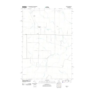
2010 Map of Spirit
USGS Topo · Published 2010About this map
Spirit anchors this northern Wisconsin landscape, situated where the North Fork Spirit River and several tributary creeks converge. The rural character of the area is defined by a dense network of local roads with names that hint at the region's agricultural and cultural heritage, such as Cheese Factory Rd, Fox Farm Rd, and German Settlement Rd. Water management is evident through infrastructure like the Severson E5388 Dam and the Thomas Breakey and Ray Bush G5995 Dam, which regulate the flow of Knox Creek and the river. Local history and genealogy are anchored at Hillcrest Cemetery, located just east of the main settlement. The terrain is intricately drained by numerous waterways, including Marheime Creek, Twin Creek, and Gus Johnson Creek, illustrating a landscape shaped by the Spirit River system.
Find a feature on this map
39 named features on this map. Tap any name to fly to it.
Don’t see what you’re looking for? This feature index may not catch every label — zoom into the map to look around manually.
Map Details
Editions of this 2010 Spirit Map
This is the sole edition of this map. No revisions or reprints were ever made.
Other maps of this area

1939 · Mc Cord
USGS Topo · 1:48,000

1941 · Brantwood
USGS Topo · 1:48,000

1943 · Brantwood
USGS Topo · 1:48,000

1945 · Rib Lake
USGS Topo · 1:48,000

1947 · Mc Cord
USGS Topo · 1:48,000

1947 · Rib Lake
USGS Topo · 1:48,000

1949 · Rib Lake
USGS Topo · 1:48,000

1950 · Spirit Falls
USGS Topo · 1:48,000

1952 · Spirit Falls
USGS Topo · 1:48,000

1953 · Rice Lake
USGS Topo · 1:250,000