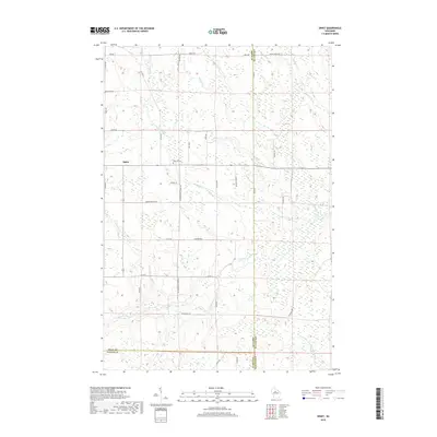
2018 Map of Spirit
USGS Topo · Published 2018About this map
The small settlement of Spirit serves as the focal point for this landscape where Price, Lincoln, and Taylor counties meet. The map reveals a community defined by its agricultural and immigrant history, evidenced by labels like N German Settlement Rd, S German Settlement Rd, and the evocative Cheese Factory Rd. The terrain is dominated by a complex network of waterways, including the Spirit River and its North Fork, alongside smaller streams such as Marheine Creek and Gus Johnson Creek. Genealogists will find the Hillcrest Cemetery centrally located, providing a fixed point for family research in this rural pocket of Wisconsin. The road network, including names like Fox Farm Road and Pikes Peak Road, suggests a history of local industry and topographic variety throughout the township.
Find a feature on this map
44 named features on this map. Tap any name to fly to it.
Don’t see what you’re looking for? This feature index may not catch every label — zoom into the map to look around manually.
Map Details
Editions of this 2018 Spirit Map
This is the sole edition of this map. No revisions or reprints were ever made.
Other maps of this area

1939 · Mc Cord
USGS Topo · 1:48,000

1941 · Brantwood
USGS Topo · 1:48,000

1943 · Brantwood
USGS Topo · 1:48,000

1945 · Rib Lake
USGS Topo · 1:48,000

1947 · Mc Cord
USGS Topo · 1:48,000

1947 · Rib Lake
USGS Topo · 1:48,000

1949 · Rib Lake
USGS Topo · 1:48,000

1950 · Spirit Falls
USGS Topo · 1:48,000

1952 · Spirit Falls
USGS Topo · 1:48,000

1953 · Rice Lake
USGS Topo · 1:250,000