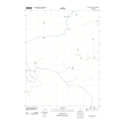
2011 Map of Split Mountain
USGS Topo · Published 2011About this map
Dinosaur National Monument encompasses the heart of this landscape, where the Green River carves a dramatic path through the geologic structures of northeastern Utah. The river serves as the primary axis for activity, connecting recreational points such as Split Mountain Landing and the Green River Campground with historical agricultural sites like Daniels Ranch. The topography is defined by significant elevations and depressions, from the heights of the Yampa Plateau and Split Mountain down into Moonshine Draw and Docs Valley.
Find a feature on this map
25 named features on this map. Tap any name to fly to it.
Don’t see what you’re looking for? This feature index may not catch every label — zoom into the map to look around manually.
Map Details
Editions of this 2011 Split Mountain Map
This is the sole edition of this map. No revisions or reprints were ever made.
Other maps of this area

1885 · Ashley
USGS Topo · 1:250,000

1907 · Jensen
USGS Topo · 1:125,000

1910 · Jensen
USGS Topo · 1:125,000

1954 · Vernal
USGS Topo · 1:250,000

1955 · Island Park
USGS Topo · 1:24,000

1955 · Stuntz Reservoir
USGS Topo · 1:24,000

1955 · Jones Hole
USGS Topo · 1:24,000

1955 · Split Mountain
USGS Topo · 1:24,000

1958 · Vernal
USGS Topo · 1:250,000

1960 · Vernal
USGS Topo · 1:250,000