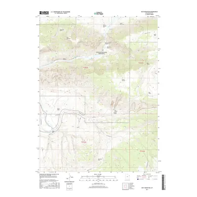
2017 Map of Split Mountain
USGS Topo · Published 2017About this map
The Green River carves a dramatic path through the heart of Dinosaur National Monument, defining the central character of this northeastern Utah landscape. The river's powerful descent through Split Mountain Canyon is marked by a series of significant whitewater features, including Moonshine Rapids, Schoolboy Rapids, and Inglesby Rapids. This corridor served as a vital, if treacherous, artery for early explorers and settlers in Uintah County.
Find a feature on this map
36 named features on this map. Tap any name to fly to it.
Don’t see what you’re looking for? This feature index may not catch every label — zoom into the map to look around manually.
Map Details
Editions of this 2017 Split Mountain Map
This is the sole edition of this map. No revisions or reprints were ever made.
Other maps of this area

1885 · Ashley
USGS Topo · 1:250,000

1907 · Jensen
USGS Topo · 1:125,000

1910 · Jensen
USGS Topo · 1:125,000

1954 · Vernal
USGS Topo · 1:250,000

1955 · Island Park
USGS Topo · 1:24,000

1955 · Stuntz Reservoir
USGS Topo · 1:24,000

1955 · Jones Hole
USGS Topo · 1:24,000

1955 · Split Mountain
USGS Topo · 1:24,000

1958 · Vernal
USGS Topo · 1:250,000

1960 · Vernal
USGS Topo · 1:250,000