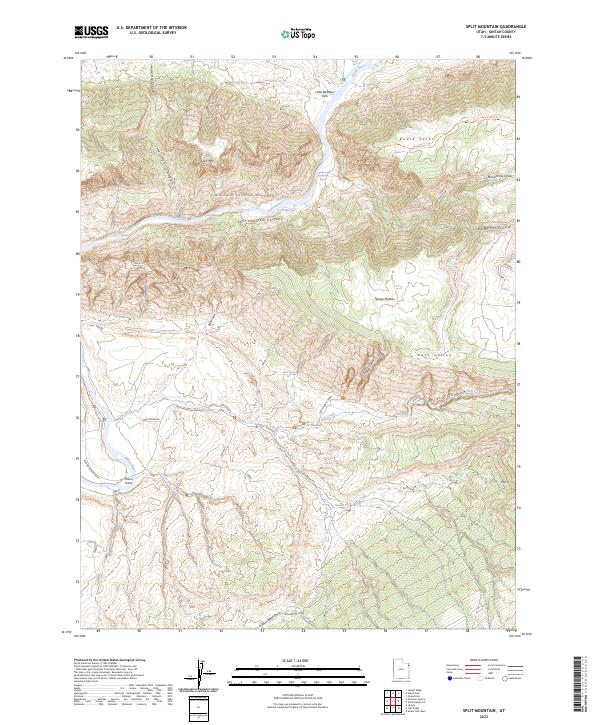
2023 Map of Split Mountain
USGS Topo · Published 2023About this map
Dinosaur National Monument dominates this portion of Uintah County, where the Green River carves a winding path through the dramatic geological formations of Split Mountain Canyon. The map details the transition from the river's high-energy water features, such as Moonshine Rapids and S O B Rapids, to the high plateaus of Ruple Point and the Yampa Plateau. Cultural history is anchored by the Josie Morris Cabin near the mouth of Hog Canyon, a site connected by Chew Ranch Rd and Blue Mountain Road. The landscape is a network of deep drainages like Horse Trail Canyon and Mitten Canyon, which feed into the central river system. Local landmarks such as Little Rainbow Park and Placer Point provide specific reference points for researchers interested in the area's homesteading and recreational footprint.
Find a feature on this map
32 named features on this map. Tap any name to fly to it.
Don’t see what you’re looking for? This feature index may not catch every label — zoom into the map to look around manually.
Map Details
Editions of this 2023 Split Mountain Map
This is the sole edition of this map. No revisions or reprints were ever made.
Other maps of this area

1885 · Ashley
USGS Topo · 1:250,000

1907 · Jensen
USGS Topo · 1:125,000

1910 · Jensen
USGS Topo · 1:125,000

1954 · Vernal
USGS Topo · 1:250,000

1955 · Island Park
USGS Topo · 1:24,000

1955 · Stuntz Reservoir
USGS Topo · 1:24,000

1955 · Jones Hole
USGS Topo · 1:24,000

1955 · Split Mountain
USGS Topo · 1:24,000

1958 · Vernal
USGS Topo · 1:250,000

1960 · Vernal
USGS Topo · 1:250,000