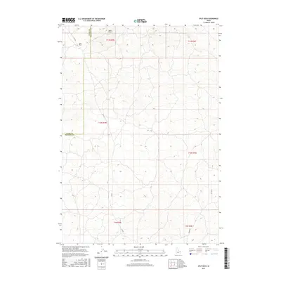
2017 Map of Split Rock
USGS Topo · Published 2017About this map
Split Rock and the nearby Butte Crater dominate the northern landscape of this corner of eastern Idaho. This 2017 survey details a volcanic and high-desert environment defined by sparse infrastructure and significant geological formations. The boundary between Clark and Fremont counties bisects the western portion of the map, carving through an area largely shaped by natural contours rather than dense settlement. A handful of primitive routes provide the only land access through this terrain, including Red Rd and Ice Cave Rd, which trace the low-lying areas between ridges and craters. The township and range system here, including t11n r39e, reflects a landscape partitioned for public land management and conservation, where the evidence of past volcanic activity remains the most prominent feature of the local geography.
Find a feature on this map
12 named features on this map. Tap any name to fly to it.
Don’t see what you’re looking for? This feature index may not catch every label — zoom into the map to look around manually.
Map Details
Editions of this 2017 Split Rock Map
This is the sole edition of this map. No revisions or reprints were ever made.
Other maps of this area

1955 · Ashton
USGS Topo · 1:250,000

1958 · Ashton
USGS Topo · 1:250,000

1960 · Ashton
USGS Topo · 1:250,000
1965 · Black Knoll
USGS Topo · 1:24,000
1965 · Split Butte
USGS Topo · 1:24,000

1965 · Crystal Butte
USGS Topo · 1:24,000

1972 · Pine Butte
USGS Topo · 1:24,000
1972 · Split Rock
USGS Topo · 1:24,000
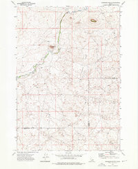
1972 · Snowshoe Butte
USGS Topo · 1:24,000
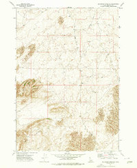
1972 · Big Grassy Ridge SE
USGS Topo · 1:24,000