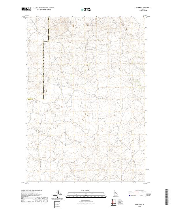
2023 Map of Split Rock
USGS Topo · Published 2023About this map
Butte Crater rises as a prominent landmark in this high-desert landscape of eastern Idaho, where the volcanic geology is reflected in both the terrain and the local infrastructure. The map documents a sparsely populated region defined by long, straight thoroughfares and section lines, with Red Rd serving as a primary corridor through the western portion of the quadrangle. This area, straddling the line between Clark and Fremont counties, shows a landscape dominated by topographic contouring and minimal development. The presence of Ice Cave Rd in the southeast corner hints at the unique subterranean features found in this lava-flow region. Researchers of the Snake River Plain will find the cartography provides a clear picture of the modern road network and legal boundaries, including the path of Crooked Rd, within an environment shaped by ancient geological activity.
Find a feature on this map
5 named features on this map. Tap any name to fly to it.
Don’t see what you’re looking for? This feature index may not catch every label — zoom into the map to look around manually.
Map Details
Editions of this 2023 Split Rock Map
This is the sole edition of this map. No revisions or reprints were ever made.
Other maps of this area

1955 · Ashton
USGS Topo · 1:250,000

1958 · Ashton
USGS Topo · 1:250,000

1960 · Ashton
USGS Topo · 1:250,000
1965 · Black Knoll
USGS Topo · 1:24,000
1965 · Split Butte
USGS Topo · 1:24,000

1965 · Crystal Butte
USGS Topo · 1:24,000

1972 · Pine Butte
USGS Topo · 1:24,000
1972 · Split Rock
USGS Topo · 1:24,000
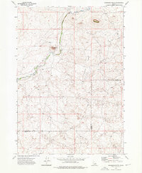
1972 · Snowshoe Butte
USGS Topo · 1:24,000
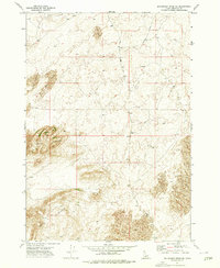
1972 · Big Grassy Ridge SE
USGS Topo · 1:24,000