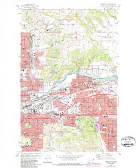
1973 Map of Spokane NE
USGS Topo · Published 1986About this map
Orchard Prairie and Pleasant Prairie define the northern portion of this landscape, where early agricultural patterns meet the growing residential expansion of Spokane. The area is dense with historical institutional markers, including the prominent Mt St Michael Scholasticate and St Michaels Mission, alongside several rural cemeteries like Pleasant Prairie Cem and Evergreen Cem. The industrial and transportation corridor along the Spokane River is well-established, anchored by the Felts Field municipal airport and the extensive rail infrastructure of the Burlington Northern and Union Pacific lines.
Find a feature on this map
104 named features on this map. Tap any name to fly to it.
Don’t see what you’re looking for? This feature index may not catch every label — zoom into the map to look around manually.
Map Details
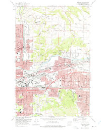
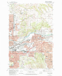
Editions of this 1973 Spokane NE Map
3 editions found
Other maps of this area

1901 · Spokane
USGS Topo · 1:125,000

1943 · Mt Spokane
USGS Topo · 1:62,500

1949 · Deer Park
USGS Topo · 1:62,500

1949 · Greenacres
USGS Topo · 1:62,500

1950 · Spokane NE
USGS Topo · 1:24,000

1950 · Spokane SE
USGS Topo · 1:24,000

1950 · Mt Spokane
USGS Topo · 1:62,500

1950 · Spokane SW
USGS Topo · 1:24,000

1950 · Spokane NW
USGS Topo · 1:24,000

1950 · Spokane
USGS Topo · 1:62,500