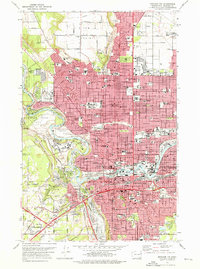
1974 Map of Spokane NW
USGS Topo · Published 1976About this map
The Spokane River carves a dramatic course through the center of this 1974 quadrangle, marking the transition from the dense urban grid of Spokane to the higher elevations of Five Mile Prairie. The map documents a city defined by its relationship to the water and the railroads, with the Burlington Northern and Milwaukee Road lines weaving through the industrial corridors. Landmarks like Gonzaga University and the Fort Wright Historic Site anchor the metropolitan area, while the western reaches are dominated by expansive green spaces such as Riverside State Park and the Finch Arboretum.
Find a feature on this map
115 named features on this map. Tap any name to fly to it.
Don’t see what you’re looking for? This feature index may not catch every label — zoom into the map to look around manually.
Map Details
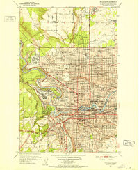
Editions of this 1974 Spokane NW Map
2 editions found

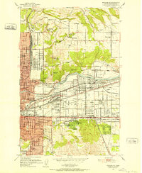
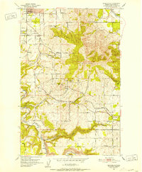
Other maps of this area

1901 · Spokane
USGS Topo · 1:125,000

1943 · Medical Lake
USGS Topo · 1:62,500

1944 · Clayton
USGS Topo · 1:62,500

1949 · Deer Park
USGS Topo · 1:62,500
1950 · Spokane NE
USGS Topo · 1:24,000
1950 · Spokane SE
USGS Topo · 1:24,000

1950 · Spokane SW
USGS Topo · 1:24,000
1950 · Spokane NW
USGS Topo · 1:24,000

1950 · Spokane
USGS Topo · 1:62,500

1950 · Clayton
USGS Topo · 1:62,500