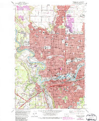
1974 Map of Spokane NW
USGS Topo · Published 1986About this map
The Spokane River carves a deep valley through this mid-1970s landscape, separating the residential growth of West Spokane and Country Homes from the open expanses of Five Mile Prairie. Educational institutions are prominent, with Gonzaga University situated near the city center and Whitworth College to the north, while Fort Wright College occupies a site overlooking a bend in the river. This edition, featuring 1982 revisions in purple, documents the intensification of the urban grid and the expansion of neighborhood shopping centers and hospitals. Landmarks such as Albi Stadium, the Coliseum, and the Main Post Office anchor the civic core, while numerous religious and burial sites including Holy Cross Cemetery and Riverside Memorial Park mark the community's established history. The presence of the Burlington Northern rail lines and the varied industrial sites near Havermale Island highlight the city's enduring role as a regional transport and service hub.
Find a feature on this map
59 named features on this map. Tap any name to fly to it.
Don’t see what you’re looking for? This feature index may not catch every label — zoom into the map to look around manually.
Map Details
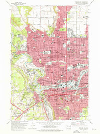
Editions of this 1974 Spokane NW Map
2 editions found
Other maps of this area

1901 · Spokane
USGS Topo · 1:125,000

1943 · Medical Lake
USGS Topo · 1:62,500

1944 · Clayton
USGS Topo · 1:62,500

1949 · Deer Park
USGS Topo · 1:62,500

1950 · Spokane NE
USGS Topo · 1:24,000

1950 · Spokane SE
USGS Topo · 1:24,000

1950 · Spokane SW
USGS Topo · 1:24,000

1950 · Spokane NW
USGS Topo · 1:24,000

1950 · Spokane
USGS Topo · 1:62,500

1950 · Clayton
USGS Topo · 1:62,500