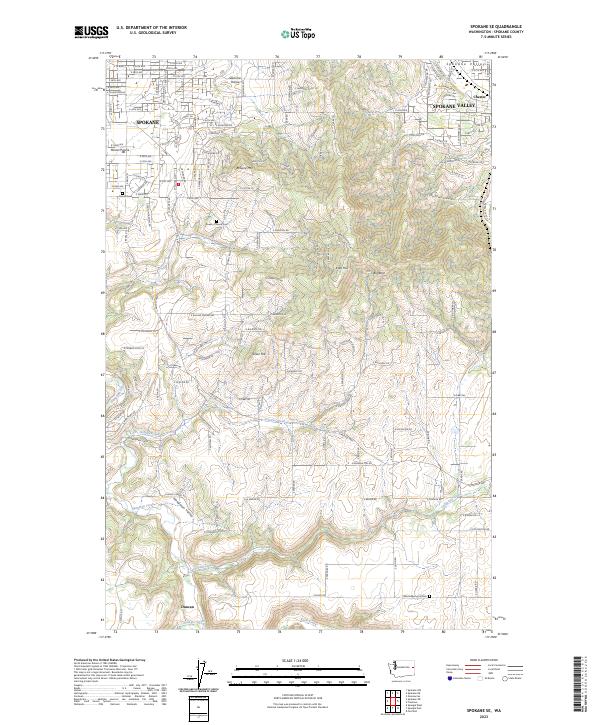
2023 Map of Spokane SE
USGS Topo · Published 2023About this map
Spokane and Spokane Valley give way to the rugged topography of the southeast, where the urban grid dissolves into family-named hills and deep creek valleys. The landscape is defined by significant elevation changes between Browne Mtn and Krell Hill, separated by the drainage of Stevens Creek. To the north, the relatively level lands of Glenrose Prairie and Moran Prairie reflect the area’s historic agricultural roots before the expansion of residential developments. In the southern portion of the quadrangle, the terrain becomes more defined by the meandering path of Hangman Creek and its broad Hangman Valley, alongside California Creek and Spangle Creek. Several burial grounds, including Moran Cem and Wood Memorial Cem, are situated throughout the map, providing fixed points for genealogical research within this changing landscape.
Find a feature on this map
111 named features on this map. Tap any name to fly to it.
Don’t see what you’re looking for? This feature index may not catch every label — zoom into the map to look around manually.
Map Details
Editions of this 2023 Spokane SE Map
This is the sole edition of this map. No revisions or reprints were ever made.
Other maps of this area

1901 · Spokane
USGS Topo · 1:125,000

1903 · Oakesdale
USGS Topo · 1:125,000

1905 · Oakesdale
USGS Topo · 1:125,000

1949 · Greenacres
USGS Topo · 1:62,500

1950 · Spokane NE
USGS Topo · 1:24,000

1950 · Spokane SE
USGS Topo · 1:24,000

1950 · Spokane SW
USGS Topo · 1:24,000

1950 · Spokane NW
USGS Topo · 1:24,000

1950 · Spokane
USGS Topo · 1:62,500

1951 · Greenacres
USGS Topo · 1:62,500