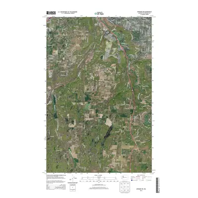
2014 Map of Spokane SW
USGS Topo · Published 2014About this map
Hangman Creek carves a deep valley through the eastern portion of this landscape, creating a dramatic corridor for both natural drainage and transportation. The southwestern outskirts of Spokane are characterized by a mix of established residential pockets like Geiger Heights and Moran Prairie, interspersed with specialized aviation infrastructure. Numerous small airfields, including Ox Meadows Airport, Mullan Hill Airport, and Fowlers North-West 40 Airport, highlight the region's historical and contemporary connection to light aircraft and private pilots.
Find a feature on this map
167 named features on this map. Tap any name to fly to it.
Don’t see what you’re looking for? This feature index may not catch every label — zoom into the map to look around manually.
Map Details
Editions of this 2014 Spokane SW Map
This is the sole edition of this map. No revisions or reprints were ever made.
Other maps of this area

1901 · Spokane
USGS Topo · 1:125,000

1903 · Oakesdale
USGS Topo · 1:125,000

1905 · Oakesdale
USGS Topo · 1:125,000

1943 · Medical Lake
USGS Topo · 1:62,500

1950 · Spokane NE
USGS Topo · 1:24,000

1950 · Spokane SE
USGS Topo · 1:24,000

1950 · Spokane SW
USGS Topo · 1:24,000

1950 · Spokane NW
USGS Topo · 1:24,000

1950 · Spokane
USGS Topo · 1:62,500

1954 · Airway Heights
USGS Topo · 1:24,000