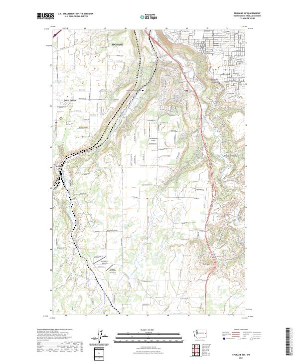
2023 Map of Spokane SW
USGS Topo · Published 2023About this map
Spokane spreads its southwestern suburban reach across a landscape defined by the winding course of Hangman Creek and the southern ascent toward Rosa Butte. This 2023 survey documents the modern layout of residential developments such as Geiger Heights and Moran Prairie, contrasted against the older established community of Marshall situated along Marshall Creek. The map reveals a high density of specialized aviation infrastructure, including Ox Meadows Airport, Homeport Airport, and Fowlers Northwest 40 Airport, reflecting the region's active private and local flight history.
Find a feature on this map
176 named features on this map. Tap any name to fly to it.
Don’t see what you’re looking for? This feature index may not catch every label — zoom into the map to look around manually.
Map Details
Editions of this 2023 Spokane SW Map
This is the sole edition of this map. No revisions or reprints were ever made.
Other maps of this area

1901 · Spokane
USGS Topo · 1:125,000

1903 · Oakesdale
USGS Topo · 1:125,000

1905 · Oakesdale
USGS Topo · 1:125,000

1943 · Medical Lake
USGS Topo · 1:62,500

1950 · Spokane NE
USGS Topo · 1:24,000

1950 · Spokane SE
USGS Topo · 1:24,000

1950 · Spokane SW
USGS Topo · 1:24,000

1950 · Spokane NW
USGS Topo · 1:24,000

1950 · Spokane
USGS Topo · 1:62,500

1954 · Airway Heights
USGS Topo · 1:24,000