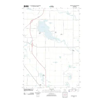
2010 Map of Spooner Lake
USGS Topo · Published 2010About this map
Spooner Lake and its surrounding wetlands dominate this 2010 USGS survey of northwestern Wisconsin. The landscape is defined by its complex hydrography, featuring controlled water levels at the Spooner Lake WP 349 Dam and the Upper Flowage 2WP988 Dam. These water bodies are connected by a network of seasonal and perennial streams including Little Mackay Creek, Potato Creek, and the Yellow River.
Find a feature on this map
55 named features on this map. Tap any name to fly to it.
Don’t see what you’re looking for? This feature index may not catch every label — zoom into the map to look around manually.
Map Details
Editions of this 2010 Spooner Lake Map
This is the sole edition of this map. No revisions or reprints were ever made.
Other maps of this area

1948 · Spooner
USGS Topo · 1:48,000

1948 · Stone Lake
USGS Topo · 1:48,000

1949 · Spooner
USGS Topo · 1:48,000

1949 · Rice Lake
USGS Topo · 1:48,000

1950 · Stone Lake
USGS Topo · 1:48,000

1951 · Shell Lake
USGS Topo · 1:48,000

1951 · Rice Lake
USGS Topo · 1:48,000

1953 · Rice Lake
USGS Topo · 1:250,000

1959 · Rice Lake
USGS Topo · 1:250,000

1965 · Rice Lake
USGS Topo · 1:62,500