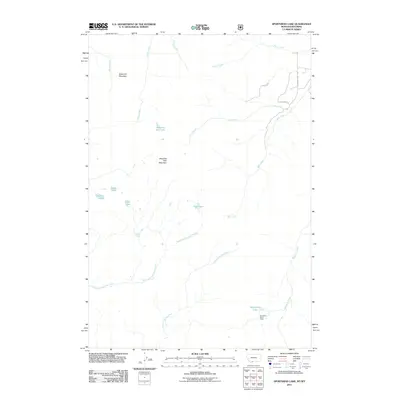
2011 Map of Sportsman Lake
USGS Topo · Published 2011About this map
Sportsman Patrol Cabin stands as a solitary outpost in this high-altitude landscape where the headwaters of numerous drainages begin their descent. The terrain is defined by the significant peaks of Sawtooth Mountain and Shooting Star Mountain, which overlook a network of alpine basins and water bodies. This area is a critical hydrological junction, where the East Fork Specimen Creek and North Fork Fan Creek emerge from the slopes to feed the larger river systems below.
Find a feature on this map
20 named features on this map. Tap any name to fly to it.
Don’t see what you’re looking for? This feature index may not catch every label — zoom into the map to look around manually.
Map Details
Editions of this 2011 Sportsman Lake Map
This is the sole edition of this map. No revisions or reprints were ever made.
Other maps of this area

1885 · Gallatin
USGS Topo · 1:125,000

1885 · Gallatin
USGS Topo · 1:125,000

1888 · Three Forks
USGS Topo · 1:250,000

1891 · Livingston
USGS Topo · 1:250,000

1893 · Livingston
USGS Topo · 1:250,000

1894 · Three Forks
USGS Topo · 1:250,000

1895 · Three Forks
USGS Topo · 1:250,000

1901 · Gallatin
USGS Topo · 1:125,000

1908 · Gallatin
USGS Topo · 1:125,000

1911 · Gallatin
USGS Topo · 1:125,000