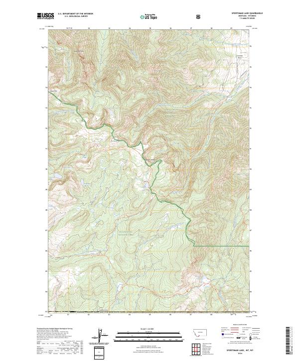
2024 Map of Sportsman Lake
USGS Topo · Published 2024About this map
Yellowstone National Park and the Gallatin National Forest meet in this high-altitude landscape, where the Gallatin Range provides the primary drainage divide. The terrain is defined by a dense network of mountain peaks and water bodies, including Sawtooth Mtn, Sheep Mtn, and Shooting Star Mtn. Water flows through deep drainages such as Cinnabar Creek and the North Fork Specimen Creek, while numerous alpine basins harbor Sportsman Lake, Crescent Lake, and the aptly named Shooting Star Lake.
Find a feature on this map
48 named features on this map. Tap any name to fly to it.
Don’t see what you’re looking for? This feature index may not catch every label — zoom into the map to look around manually.
Map Details
Editions of this 2024 Sportsman Lake Map
This is the sole edition of this map. No revisions or reprints were ever made.
Other maps of this area

1885 · Gallatin
USGS Topo · 1:125,000

1885 · Gallatin
USGS Topo · 1:125,000

1888 · Three Forks
USGS Topo · 1:250,000

1891 · Livingston
USGS Topo · 1:250,000

1893 · Livingston
USGS Topo · 1:250,000

1894 · Three Forks
USGS Topo · 1:250,000

1895 · Three Forks
USGS Topo · 1:250,000

1901 · Gallatin
USGS Topo · 1:125,000

1908 · Gallatin
USGS Topo · 1:125,000

1911 · Gallatin
USGS Topo · 1:125,000