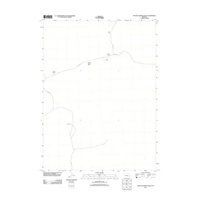
2011 Map of Spotted Horse Valley
USGS Topo · Published 2011About this map
Spotted Horse Valley defines this section of the Nebraska Sandhills, a landscape shaped by remote ranching operations and a sparse network of section-line and canyon roads. In the early 21st century, the area remains dominated by named family holdings such as Vasa Ranch and the Dean Simpson Ranch. The placement of these homesteads reflects the necessity of water and sheltered terrain in this part of Arthur County. Transportation is limited to functional routes like Packard Rd and Keystone Rd S, which connect the disparate Robert Simpson Ranch and Williams Ranch across the open range. This document provides a clear record of land use and family geography in a region where large-scale cattle ranching has been the primary economic driver for generations.
Find a feature on this map
11 named features on this map. Tap any name to fly to it.
Don’t see what you’re looking for? This feature index may not catch every label — zoom into the map to look around manually.
Map Details
Editions of this 2011 Spotted Horse Valley Map
This is the sole edition of this map. No revisions or reprints were ever made.
Other maps of this area

1897 · Ogallala
USGS Topo · 1:125,000

1898 · Paxton
USGS Topo · 1:125,000

1900 · Ogallala
USGS Topo · 1:125,000

1901 · Paxton
USGS Topo · 1:125,000

1949 · Arthur
USGS Topo · 1:62,500

1949 · Flats
USGS Topo · 1:62,500

1950 · Flats
USGS Topo · 1:62,500

1950 · Arthur
USGS Topo · 1:62,500

1954 · North Platte
USGS Topo · 1:250,000

1956 · North Platte
USGS Topo · 1:250,000