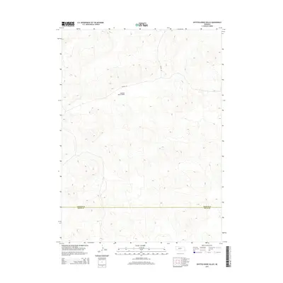
2014 Map of Spotted Horse Valley
USGS Topo · Published 2014About this map
Spotted Horse Valley characterizes this stretch of the Nebraska Sandhills, where the undulating terrain is marked by a network of local ranch roads. Running through the northern portion of the quadrangle, Packard Rd and Enfield Rd provide the primary access to this sparsely populated region. The map documents the high-plains landscape as it appeared in the early 21st century, illustrating the intersection of natural topography and remote land management. Along the southern edge, the administrative boundary between Arthur Co and Keith Co bisects the valley, a significant marker for local property records and genealogical research in this part of the state.
Find a feature on this map
5 named features on this map. Tap any name to fly to it.
Don’t see what you’re looking for? This feature index may not catch every label — zoom into the map to look around manually.
Map Details
Editions of this 2014 Spotted Horse Valley Map
This is the sole edition of this map. No revisions or reprints were ever made.
Other maps of this area

1897 · Ogallala
USGS Topo · 1:125,000

1898 · Paxton
USGS Topo · 1:125,000

1900 · Ogallala
USGS Topo · 1:125,000

1901 · Paxton
USGS Topo · 1:125,000

1949 · Arthur
USGS Topo · 1:62,500

1949 · Flats
USGS Topo · 1:62,500

1950 · Flats
USGS Topo · 1:62,500

1950 · Arthur
USGS Topo · 1:62,500

1954 · North Platte
USGS Topo · 1:250,000

1956 · North Platte
USGS Topo · 1:250,000