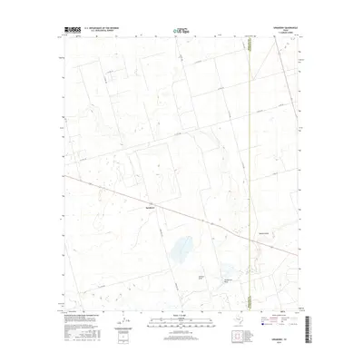
2016 Map of Spraberry
USGS Topo · Published 2016About this map
Spraberry sits at the heart of this Permian Basin landscape, where the flat Texas terrain is defined by a rigorous grid of ranch roads and ephemeral watercourses. The 2016 survey documents a network of county roads, including S Co Rd 1065 and E Co Rd 160, which service the remote ranching and energy-producing lands along the border of Midland Co and Glasscock Co. The hydrology of the region is dominated by significant drainage features such as Midland Draw, Johnson Draw, and Pemberton Draw, which carve subtle paths through the high plains. This map is particularly useful for understanding the modern infrastructure of the Spraberry Trend, illustrating how thoroughfares like Fm 1379 and Ranch Rd 1379 connect these isolated reaches of West Texas.
Find a feature on this map
19 named features on this map. Tap any name to fly to it.
Don’t see what you’re looking for? This feature index may not catch every label — zoom into the map to look around manually.
Map Details
Editions of this 2016 Spraberry Map
This is the sole edition of this map. No revisions or reprints were ever made.
Other maps of this area

1941 · Morita
USGS Topo · 1:62,500

1949 · Morita
USGS Topo · 1:62,500

1954 · Big Spring
USGS Topo · 1:250,000

1954 · San Angelo
USGS Topo · 1:250,000

1958 · San Angelo
USGS Topo · 1:250,000

1958 · Big Spring
USGS Topo · 1:250,000

1965 · San Angelo
USGS Topo · 1:250,000

1965 · Dewey Lake
USGS Topo · 1:24,000

1965 · Spraberry
USGS Topo · 1:24,000

1965 · Salt Lake
USGS Topo · 1:24,000