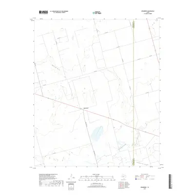
2019 Map of Spraberry
USGS Topo · Published 2019About this map
The settlement of Spraberry sits at the heart of this Permian Basin landscape, where the flat terrain is defined by an intricate network of intermittent watercourses and county roads. The drainage pattern is dominated by Midland Draw, which snakes across the northern half of the map, and Johnson Draw to the south, both of which eventually converge toward Pemberton Draw in the southeastern corner. These ephemeral features are characteristic of the high plains, where water is scarce and the land is primarily organized by the section-line grid of the local road system.
Find a feature on this map
18 named features on this map. Tap any name to fly to it.
Don’t see what you’re looking for? This feature index may not catch every label — zoom into the map to look around manually.
Map Details
Editions of this 2019 Spraberry Map
This is the sole edition of this map. No revisions or reprints were ever made.
Other maps of this area

1941 · Morita
USGS Topo · 1:62,500

1949 · Morita
USGS Topo · 1:62,500

1954 · Big Spring
USGS Topo · 1:250,000

1954 · San Angelo
USGS Topo · 1:250,000

1958 · San Angelo
USGS Topo · 1:250,000

1958 · Big Spring
USGS Topo · 1:250,000

1965 · San Angelo
USGS Topo · 1:250,000

1965 · Dewey Lake
USGS Topo · 1:24,000

1965 · Spraberry
USGS Topo · 1:24,000

1965 · Salt Lake
USGS Topo · 1:24,000