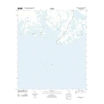
2012 Map of Sprague Island
USGS Topo · Published 2012About this map
Saint Marks Light stands as a sentinel at the edge of Apalachee Bay, anchoring a complex landscape of tidal creeks and brackish pools where the Saint Marks River meets the Gulf of Mexico. This coastal environment is defined by an intricate network of waterways including the East River, Steward Bayou, and Rock Cr, which carve through marshy expanses to form numerous islands such as Johns Island and Sprague Island. The interior is dotted with managed water bodies like Stony Bayou Pool and Mounds Pool, overseen by landmarks like the Mound Lookout Tower. This survey details the delicate boundary between land and sea, tracing the many points and passes, from Indian Point to Big Pass, that have shaped navigation and ecological management in this corner of Wakulla County for generations.
Find a feature on this map
56 named features on this map. Tap any name to fly to it.
Don’t see what you’re looking for? This feature index may not catch every label — zoom into the map to look around manually.
Map Details
Editions of this 2012 Sprague Island Map
This is the sole edition of this map. No revisions or reprints were ever made.
Other maps of this area

1940 · Arran
USGS Topo · 1:62,500

1943 · Arran
USGS Topo · 1:62,500

1943 · Lighthouse Point
USGS Topo · 1:24,000

1945 · Lighthouse Point
USGS Topo · 1:31,680

1949 · Apalachicola
USGS Topo · 1:250,000

1954 · Sprague Island
USGS Topo · 1:24,000

1954 · St. Marks NE
USGS Topo · 1:24,000

1954 · St. Marks
USGS Topo · 1:24,000

1954 · Cobb Rocks
USGS Topo · 1:24,000

1954 · Tallahassee
USGS Topo · 1:250,000