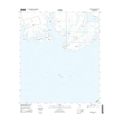
2015 Map of Sprague Island
USGS Topo · Published 2015About this map
Saint Marks River defines the intricate coastal geography of Wakulla County as it empties into the Gulf of Mexico. This environment is characterized by a dense network of tidal bayous and lagoons, including Africa Bayou, Stony Bayou, and Boggy Bayou. These waterways surround several prominent landforms such as Sprague Island, Johns Island, and the more isolated Slough Island to the east. The terrain is marked by numerous pools and ponds, notably the Mounds Pool and Stony Bayou Pool, which suggest the low-lying, marshy nature of the Florida Panhandle coastline.
Find a feature on this map
56 named features on this map. Tap any name to fly to it.
Don’t see what you’re looking for? This feature index may not catch every label — zoom into the map to look around manually.
Map Details
Editions of this 2015 Sprague Island Map
This is the sole edition of this map. No revisions or reprints were ever made.
Other maps of this area

1940 · Arran
USGS Topo · 1:62,500

1943 · Arran
USGS Topo · 1:62,500

1943 · Lighthouse Point
USGS Topo · 1:24,000

1945 · Lighthouse Point
USGS Topo · 1:31,680

1949 · Apalachicola
USGS Topo · 1:250,000

1954 · Sprague Island
USGS Topo · 1:24,000

1954 · St. Marks NE
USGS Topo · 1:24,000

1954 · St. Marks
USGS Topo · 1:24,000

1954 · Cobb Rocks
USGS Topo · 1:24,000

1954 · Tallahassee
USGS Topo · 1:250,000