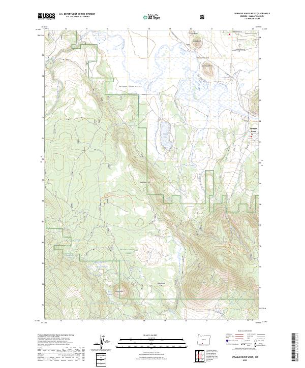
2023 Map of Sprague River West
USGS Topo · Published 2023About this map
Sprague River Valley centers this Klamath County landscape, where the meandering Sprague River serves as the primary drainage through a mosaic of wetlands and rising volcanic landforms. To the north, distinctive peaks like Eagle Butte, Watchdog Butte, and the Buttes of the Gods overlook the valley floor, while the southern portion of the sheet transitions into the timbered slopes of the Winema National Forest. Local landmarks such as Riddle Field and Switchback Flat hint at the area's agricultural and ranching history, supported by numerous water sources including South Boundary Spring and Cowboy Spring. The settlement of Sprague River sits near the eastern edge of the quadrangle, serving as a hub for the remote roads and ranch access points like Skeen Ranch Rd and Bliss Rd that weave through the mountainous terrain and high-elevation basins like Bear Wallows.
Find a feature on this map
41 named features on this map. Tap any name to fly to it.
Don’t see what you’re looking for? This feature index may not catch every label — zoom into the map to look around manually.
Map Details
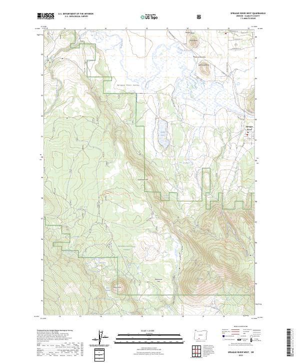
Editions of this 2023 Sprague River West Map
2 editions found
Other maps of this area

1889 · Klamath
USGS Topo · 1:250,000

1894 · Klamath
USGS Topo · 1:250,000

1955 · Klamath Falls
USGS Topo · 1:250,000

1956 · Calimus Butte
USGS Topo · 1:62,500

1957 · Swan Lake
USGS Topo · 1:62,500

1958 · Klamath Falls
USGS Topo · 1:250,000

1960 · Beatty
USGS Topo · 1:62,500

1960 · Fuego Mountain
USGS Topo · 1:62,500

1980 · Williamson River
USGS Topo · 1:100,000
1985 · Sprague River West
USGS Topo · 1:24,000