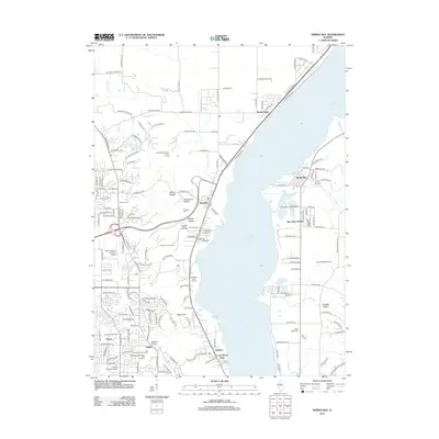
2012 Map of Spring Bay
USGS Topo · Published 2012About this map
Upper Peoria Lake dominates this central Illinois landscape, separating the residential expansions of Peoria and Sankoty on the western shore from the smaller villages of Spring Bay and Bay View Garden to the east. The terrain is marked by a series of deep ravines or hollows, such as Moon Hollow, Strawberry Hollow, and Burkett Hollow, which channel drainage via creeks like Dickson Run and Blue Cr into the Illinois River valley.
Find a feature on this map
172 named features on this map. Tap any name to fly to it.
Don’t see what you’re looking for? This feature index may not catch every label — zoom into the map to look around manually.
Map Details
Editions of this 2012 Spring Bay Map
This is the sole edition of this map. No revisions or reprints were ever made.
Other maps of this area

1893 · Metamora
USGS Topo · 1:62,500

1893 · Dunlap
USGS Topo · 1:62,500

1898 · Dunlap
USGS Topo · 1:62,500

1905 · Peoria
USGS Topo · 1:62,500

1927 · Peoria
USGS Topo · 1:62,500

1928 · Mackinaw
USGS Topo · 1:62,500

1932 · Mackinaw
USGS Topo · 1:62,500

1932 · Dunlap
USGS Topo · 1:62,500

1933 · Dunlap
USGS Topo · 1:62,500

1937 · Metamora
USGS Topo · 1:62,500