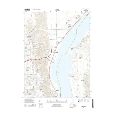
2015 Map of Spring Bay
USGS Topo · Published 2015About this map
Upper Peoria Lake dominates this 2015 perspective of the Illinois River valley, serving as the central geographic divider between Peoria and Woodford counties. On the western shore, the community of Mossville sits at the base of a complex bluff system where numerous hollows, including Poppet Hollow and Boyds Hollow, cut through the terrain toward the river. This western ridge is also home to the Mount Hawley Auxiliary Airport and residential expansions like Cedar Bluff Estates.
Find a feature on this map
85 named features on this map. Tap any name to fly to it.
Don’t see what you’re looking for? This feature index may not catch every label — zoom into the map to look around manually.
Map Details
Editions of this 2015 Spring Bay Map
This is the sole edition of this map. No revisions or reprints were ever made.
Other maps of this area

1893 · Metamora
USGS Topo · 1:62,500

1893 · Dunlap
USGS Topo · 1:62,500

1898 · Dunlap
USGS Topo · 1:62,500

1905 · Peoria
USGS Topo · 1:62,500

1927 · Peoria
USGS Topo · 1:62,500

1928 · Mackinaw
USGS Topo · 1:62,500

1932 · Mackinaw
USGS Topo · 1:62,500

1932 · Dunlap
USGS Topo · 1:62,500

1933 · Dunlap
USGS Topo · 1:62,500

1937 · Metamora
USGS Topo · 1:62,500