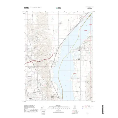
2018 Map of Spring Bay
USGS Topo · Published 2018About this map
Upper Peoria Lake dominates this landscape, serving as the central dividing line between Peoria and Woodford County. On the western bank, the industrial and residential corridors of Mossville, Sankoty, and Peoria Heights show a dense grid of development adjacent to the water. The presence of Mount Hawley Auxiliary Airport and Midstate College highlights the area's role as a regional hub for transportation and education.
Find a feature on this map
138 named features on this map. Tap any name to fly to it.
Don’t see what you’re looking for? This feature index may not catch every label — zoom into the map to look around manually.
Map Details
Editions of this 2018 Spring Bay Map
This is the sole edition of this map. No revisions or reprints were ever made.
Other maps of this area

1893 · Metamora
USGS Topo · 1:62,500

1893 · Dunlap
USGS Topo · 1:62,500

1898 · Dunlap
USGS Topo · 1:62,500

1905 · Peoria
USGS Topo · 1:62,500

1927 · Peoria
USGS Topo · 1:62,500

1928 · Mackinaw
USGS Topo · 1:62,500

1932 · Mackinaw
USGS Topo · 1:62,500

1932 · Dunlap
USGS Topo · 1:62,500

1933 · Dunlap
USGS Topo · 1:62,500

1937 · Metamora
USGS Topo · 1:62,500