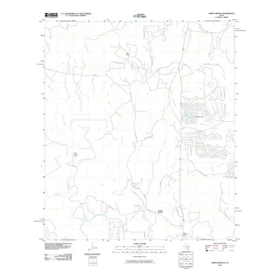
2010 Map of Spring Branch
USGS Topo · Published 2010About this map
Spring Branch and its surrounding Hill Country landscape are defined by the convergence of the Guadalupe River and several perennial streams. This 2010 survey illustrates a period of residential expansion, with subdivided tracts like Cimarron and Indian Trl appearing near the established waters of Shaeferkoeter Lake 2. The infrastructure of the era is represented by the Spring Branch Post Office and the Double U Ranch Airport, indicating a transition from traditional ranching to modern rural living.
Find a feature on this map
49 named features on this map. Tap any name to fly to it.
Don’t see what you’re looking for? This feature index may not catch every label — zoom into the map to look around manually.
Map Details
Editions of this 2010 Spring Branch Map
This is the sole edition of this map. No revisions or reprints were ever made.
Other maps of this area

1887 · Blanco
USGS Topo · 1:125,000

1894 · Fredericksburg
USGS Topo · 1:125,000

1894 · Blanco
USGS Topo · 1:125,000

1920 · Smithsons Valley
USGS Topo · 1:62,500

1925 · Smithson Valley No. 1
USGS Topo · 1:48,000

1927 · Smithson Valley
USGS Topo · 1:62,500

1929 · Smithson Valley
USGS Topo · 1:62,500

1940 · Smithson Valley
USGS Topo · 1:62,500

1954 · Llano
USGS Topo · 1:250,000

1954 · San Antonio
USGS Topo · 1:250,000