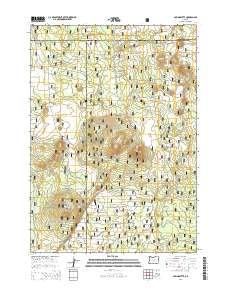
2014 Map of Spring Butte
USGS Topo · Published 2014About this map
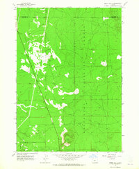
Newberry Volcano dominates the central topography of this high-desert landscape in the Deschutes National Forest. The map reveals a complex network of volcanic features, including Ipsoot Butte, Green Butte, and the namesake Spring Butte to the south. This terrain is characterized by cinder cones and expansive pumice fields like Sand Flat, reflecting the area's recent geological activity. The land is strictly partitioned by the intersection of three county lines: Deschutes, Klamath, and Lake. A dense web of forest service infrastructure, such as Natl Forest Develop Road 22 Rd and Sand Flats Rd, provides access across these cinder uplands, illustrating the modern management of these timber and recreational lands within the high Oregon desert.
Find a feature on this map
32 named features on this map. Tap any name to fly to it.
Don’t see what you’re looking for? This feature index may not catch every label — zoom into the map to look around manually.
Map Details
Editions of this 2014 Spring Butte Map
This is the sole edition of this map. No revisions or reprints were ever made.
Other maps of this area

1931 · Newberry Crater
USGS Topo · 1:125,000

1935 · Newberry Crater
USGS Topo · 1:125,000

1955 · Crescent
USGS Topo · 1:250,000

1957 · Crescent
USGS Topo · 1:250,000

1958 · Crescent
USGS Topo · 1:250,000
1963 · Spring Butte
USGS Topo · 1:24,000
1963 · Finley Butte
USGS Topo · 1:24,000
1963 · Paulina Peak
USGS Topo · 1:24,000
1963 · Moffitt Butte
USGS Topo · 1:24,000

1970 · Crescent
USGS Topo · 1:250,000