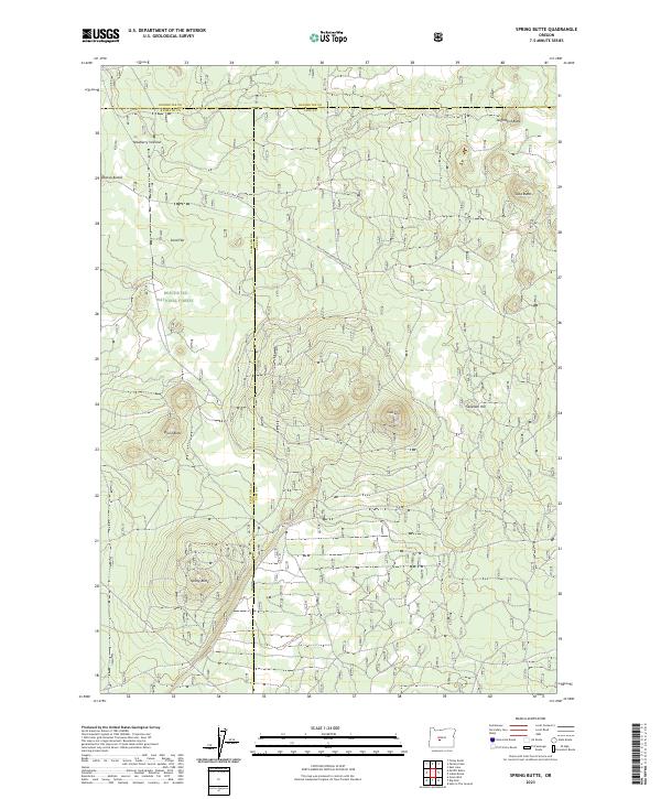
2023 Map of Spring Butte
USGS Topo · Published 2023About this map
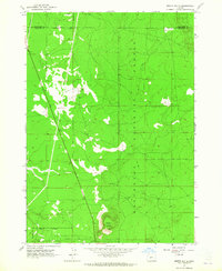
The Deschutes National Forest encompasses this volcanic landscape, where the convergence of Deschutes, Klamath, and Lake counties highlights a complex administrative boundary. The terrain is defined by a series of distinct volcanic landforms, including the prominent Spring Butte, Ipsoot Butte, and the clustered Abacus Buttes. These features reflect the region's geologic history, punctuated by cinder cones and basaltic rises that overlook the expansive Sand Flat.
Find a feature on this map
20 named features on this map. Tap any name to fly to it.
Don’t see what you’re looking for? This feature index may not catch every label — zoom into the map to look around manually.
Map Details
Editions of this 2023 Spring Butte Map
This is the sole edition of this map. No revisions or reprints were ever made.
Other maps of this area

1931 · Newberry Crater
USGS Topo · 1:125,000

1935 · Newberry Crater
USGS Topo · 1:125,000

1955 · Crescent
USGS Topo · 1:250,000

1957 · Crescent
USGS Topo · 1:250,000

1958 · Crescent
USGS Topo · 1:250,000
1963 · Spring Butte
USGS Topo · 1:24,000
1963 · Finley Butte
USGS Topo · 1:24,000
1963 · Paulina Peak
USGS Topo · 1:24,000
1963 · Moffitt Butte
USGS Topo · 1:24,000

1970 · Crescent
USGS Topo · 1:250,000