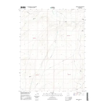
2017 Map of Spring Canyon
USGS Topo · Published 2017About this map
San Rafael River winds through the northern reaches of this landscape, marking a vital water source in the arid environment of Emery County. The topography is defined by the transitions between San Rafael Valley and the expansive San Rafael Desert to the south. This survey highlights the intricate drainage network of the region, where ephemeral systems like Dugout Wash and Cottonwood Wash have carved through the rock.
Find a feature on this map
18 named features on this map. Tap any name to fly to it.
Don’t see what you’re looking for? This feature index may not catch every label — zoom into the map to look around manually.
Map Details
Editions of this 2017 Spring Canyon Map
This is the sole edition of this map. No revisions or reprints were ever made.
Other maps of this area

1885 · San Rafael
USGS Topo · 1:250,000

1953 · Tidwell 2 SW
USGS Topo · 1:24,000

1953 · Tidwell 3 NW
USGS Topo · 1:24,000

1954 · Tidwell 1 SW
USGS Topo · 1:24,000

1954 · Tidwell 2 SE
USGS Topo · 1:24,000

1954 · Tidwell Bottoms
USGS Topo · 1:62,500

1954 · Green River
USGS Topo · 1:62,500

1956 · Salina
USGS Topo · 1:250,000

1960 · Salina
USGS Topo · 1:250,000

1962 · Salina
USGS Topo · 1:250,000