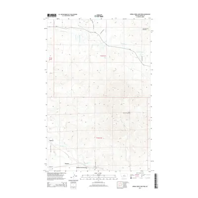
2014 Map of Spring Creek Junction
USGS Topo · Published 2014About this map
The North Moccasin Mountains and South Moccasin Mountains dominate the horizon of this Central Montana landscape, framing a valley defined by early irrigation and ranching infrastructure. Water management is central to the area's development, evidenced by the Bank Ranch Ditch and Lincoln Ditch which parallel Warm Spring Cr in the northern reaches. These systems speak to a history of water diversion necessary for agriculture in Fergus County's semi-arid environment.
Find a feature on this map
22 named features on this map. Tap any name to fly to it.
Don’t see what you’re looking for? This feature index may not catch every label — zoom into the map to look around manually.
Map Details
Editions of this 2014 Spring Creek Junction Map
This is the sole edition of this map. No revisions or reprints were ever made.
Other maps of this area

1941 · Lewistown
USGS Topo · 1:62,500

1944 · Lewistown
USGS Topo · 1:62,500

1954 · Lewistown
USGS Topo · 1:250,000

1959 · Lewistown
USGS Topo · 1:250,000

1970 · Danvers
USGS Topo · 1:24,000

1970 · Glengarry
USGS Topo · 1:24,000

1970 · Spring Creek Junction
USGS Topo · 1:24,000
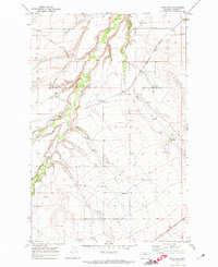
1970 · Ross Fork
USGS Topo · 1:24,000

1978 · Toney Bench
USGS Topo · 1:24,000

1978 · Seventytwo Hills
USGS Topo · 1:24,000