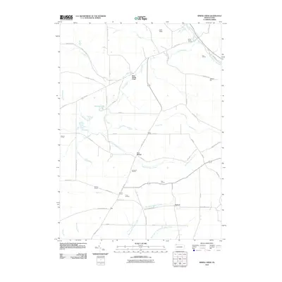
2010 Map of Spring Creek
USGS Topo · Published 2010About this map
Spring Creek and its many tributaries, including Brokenstraw Creek, carve through this section of Warren County, where small crossroads settlements define the social geography. Small communities such as West Spring Creek, East Branch, and Sanford are connected by a network of rural routes like Old Route 77 and Warren County Line Rd. For family historians, the presence of Spring Creek Cemetery, East Branch Cemetery, and Trimm Cemetery provides essential locations for tracing local lineages. The landscape is characterized by its numerous waterways, such as Ferrin Run and Whitney Run, and landmarks like the Hemlock Lakes and Nichols Airport. These features illustrate a rural Pennsylvania pattern where agriculture and transport routes like the Tri County Line Rd follow the natural drainage of the West Branch Caldwell Creek valley.
Find a feature on this map
62 named features on this map. Tap any name to fly to it.
Don’t see what you’re looking for? This feature index may not catch every label — zoom into the map to look around manually.
Map Details
Editions of this 2010 Spring Creek Map
This is the sole edition of this map. No revisions or reprints were ever made.
Other maps of this area

1926 · Youngsville
USGS Topo · 1:62,500

1927 · Tidioute
USGS Topo · 1:48,000

1927 · Titusville
USGS Topo · 1:62,500

1929 · Corry
USGS Topo · 1:48,000

1929 · Youngsville
USGS Topo · 1:62,500

1930 · Tidioute
USGS Topo · 1:62,500

1932 · Corry
USGS Topo · 1:62,500

1933 · Titusville
USGS Topo · 1:62,500

1943 · Youngsville
USGS Topo · 1:62,500

1957 · Warren
USGS Topo · 1:250,000