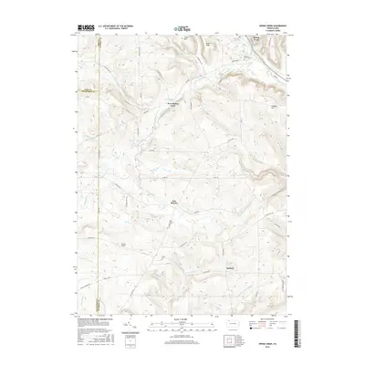
2016 Map of Spring Creek
USGS Topo · Published 2016About this map
Spring Creek and its neighboring hamlets sit at the intersection of Warren, Erie, and Crawford Counties in this contemporary topographical view. The landscape is defined by the headwaters of several drainages, including Brokenstraw Creek and E Br Spring Cr, which carve through high ground like Jackson Hill and Neils Ridge. Small rural clusters such as West Spring Creek and Sanford are connected by a network of backroads like Mickle Hill Rd and Old Rte 77. For those researching local lineages, the map identifies key burial sites including Spring Creek Cem, East Branch Cem, and Trimm Cem. The presence of the Nichols Airport and several small water bodies like Hemlock Lakes illustrates how the area balances small-scale aviation and recreational land use within its traditional agricultural and forested setting.
Find a feature on this map
53 named features on this map. Tap any name to fly to it.
Don’t see what you’re looking for? This feature index may not catch every label — zoom into the map to look around manually.
Map Details
Editions of this 2016 Spring Creek Map
This is the sole edition of this map. No revisions or reprints were ever made.
Other maps of this area

1926 · Youngsville
USGS Topo · 1:62,500

1927 · Tidioute
USGS Topo · 1:48,000

1927 · Titusville
USGS Topo · 1:62,500

1929 · Corry
USGS Topo · 1:48,000

1929 · Youngsville
USGS Topo · 1:62,500

1930 · Tidioute
USGS Topo · 1:62,500

1932 · Corry
USGS Topo · 1:62,500

1933 · Titusville
USGS Topo · 1:62,500

1943 · Youngsville
USGS Topo · 1:62,500

1957 · Warren
USGS Topo · 1:250,000