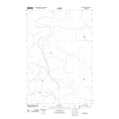
2011 Map of Spring Draw
USGS Topo · Published 2011About this map
The Powder River meanders across this northern Montana landscape, carving a wide valley through the arid plains of Prairie County. This 2011 topographic record illustrates a complex system of water management and cattle ranching infrastructure essential to the region's economy. Numerous small-scale reservoirs are scattered throughout the draws, including Young Number 1 Dam, Griffin Dam, and N P Number 3 Dam, which capture seasonal runoff from tributaries like Freddie Creek and Corral Creek.
Find a feature on this map
18 named features on this map. Tap any name to fly to it.
Don’t see what you’re looking for? This feature index may not catch every label — zoom into the map to look around manually.
Map Details
Editions of this 2011 Spring Draw Map
This is the sole edition of this map. No revisions or reprints were ever made.
Other maps of this area

1953 · Miles City
USGS Topo · 1:250,000

1957 · Miles City
USGS Topo · 1:250,000

1958 · Miles City
USGS Topo · 1:250,000

1969 · Corral Butte
USGS Topo · 1:24,000

1969 · Spring Draw
USGS Topo · 1:24,000

1969 · Zero NE
USGS Topo · 1:24,000

1969 · Zero
USGS Topo · 1:24,000

1969 · Hogan Creek
USGS Topo · 1:24,000

1969 · Flat Top Butte SW
USGS Topo · 1:24,000

1969 · Buck Mountain
USGS Topo · 1:24,000