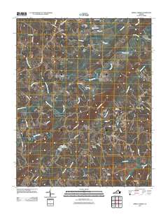
2011 Map of Spring Garden
USGS Topo · Published 2011About this map
The Banister River winds through the heart of this Pittsylvania County landscape, defining a rural corridor marked by historic crossroads and industrial remnants. At the center of the sheet, Motleys Mill stands as a point of interest for those tracing the county's early milling history and water-powered commerce. The settlement pattern is characterized by scattered communities such as Spring Garden, Sheva, and Shockoe, connected by a network of local roads like Chalk Level Rd and Sheva Rd.
Find a feature on this map
44 named features on this map. Tap any name to fly to it.
Don’t see what you’re looking for? This feature index may not catch every label — zoom into the map to look around manually.
Map Details
Editions of this 2011 Spring Garden Map
This is the sole edition of this map. No revisions or reprints were ever made.
Other maps of this area

1921 · Chatham
USGS Topo · 1:48,000

1923 · Danville
USGS Topo · 1:48,000

1923 · Chatham
USGS Topo · 1:62,500

1925 · Danville
USGS Topo · 1:62,500

1952 · Milton
USGS Topo · 1:62,500

1953 · Greensboro
USGS Topo · 1:250,000

1954 · Greensboro
USGS Topo · 1:250,000

1954 · Riceville
USGS Topo · 1:62,500

1956 · Milton
USGS Topo · 1:62,500

1962 · Greensboro
USGS Topo · 1:250,000