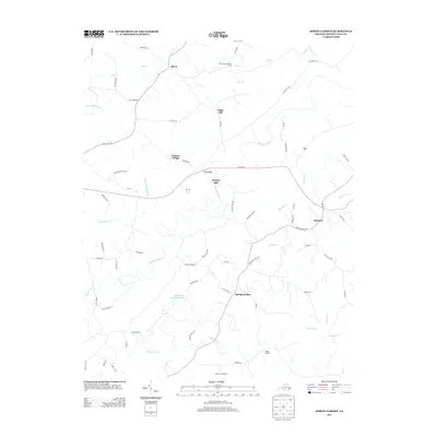
2013 Map of Spring Garden
USGS Topo · Published 2013About this map
The Banister River meanders across this rural landscape in Pittsylvania County, defining a region where small settlements and agricultural landmarks persist. Several local hubs are scattered throughout the quadrangle, including the community of Spring Garden and the crossroads at Shockoe. The presence of Motleys Mill and Walnut Winds Farm reflects the enduring agricultural and industrial roots of this Virginia countryside.
Find a feature on this map
70 named features on this map. Tap any name to fly to it.
Don’t see what you’re looking for? This feature index may not catch every label — zoom into the map to look around manually.
Map Details
Editions of this 2013 Spring Garden Map
This is the sole edition of this map. No revisions or reprints were ever made.
Other maps of this area

1921 · Chatham
USGS Topo · 1:48,000

1923 · Danville
USGS Topo · 1:48,000

1923 · Chatham
USGS Topo · 1:62,500

1925 · Danville
USGS Topo · 1:62,500

1952 · Milton
USGS Topo · 1:62,500

1953 · Greensboro
USGS Topo · 1:250,000

1954 · Greensboro
USGS Topo · 1:250,000

1954 · Riceville
USGS Topo · 1:62,500

1956 · Milton
USGS Topo · 1:62,500

1962 · Greensboro
USGS Topo · 1:250,000