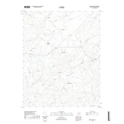
2019 Map of Spring Garden
USGS Topo · Published 2019About this map
Spring Garden and the surrounding rural landscapes of Pittsylvania County are defined by the meandering path of the Banister River and its numerous tributaries. The terrain rises sharply at White Oak Mtn, which overlooks the White Oak Mountain Lake. This area maintains a distinct settlement pattern of small communities and historical nodes such as Sheva, Cedar Hill, and Shockoe.
Find a feature on this map
69 named features on this map. Tap any name to fly to it.
Don’t see what you’re looking for? This feature index may not catch every label — zoom into the map to look around manually.
Map Details
Editions of this 2019 Spring Garden Map
This is the sole edition of this map. No revisions or reprints were ever made.
Other maps of this area

1921 · Chatham
USGS Topo · 1:48,000

1923 · Danville
USGS Topo · 1:48,000

1923 · Chatham
USGS Topo · 1:62,500

1925 · Danville
USGS Topo · 1:62,500

1952 · Milton
USGS Topo · 1:62,500

1953 · Greensboro
USGS Topo · 1:250,000

1954 · Greensboro
USGS Topo · 1:250,000

1954 · Riceville
USGS Topo · 1:62,500

1956 · Milton
USGS Topo · 1:62,500

1962 · Greensboro
USGS Topo · 1:250,000