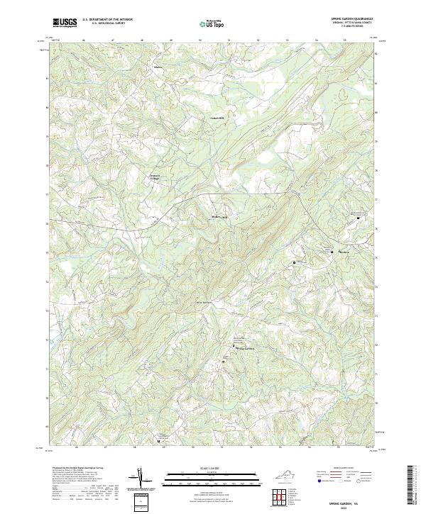
2022 Map of Spring Garden
USGS Topo · Published 2022About this map
White Oak Mountain rises as a prominent geographic anchor in this section of Pittsylvania County, directing the flow of numerous waterways toward the Banister River. The landscape is characterized by a high density of rural religious and burial sites, including the Spring Garden Community Church Cem and the Shockoe Missionary Baptist Church Cem, which serve as vital touchstones for local genealogy.
Find a feature on this map
79 named features on this map. Tap any name to fly to it.
Don’t see what you’re looking for? This feature index may not catch every label — zoom into the map to look around manually.
Map Details
Editions of this 2022 Spring Garden Map
This is the sole edition of this map. No revisions or reprints were ever made.
Other maps of this area

1921 · Chatham
USGS Topo · 1:48,000

1923 · Danville
USGS Topo · 1:48,000

1923 · Chatham
USGS Topo · 1:62,500

1925 · Danville
USGS Topo · 1:62,500

1952 · Milton
USGS Topo · 1:62,500

1953 · Greensboro
USGS Topo · 1:250,000

1954 · Greensboro
USGS Topo · 1:250,000

1954 · Riceville
USGS Topo · 1:62,500

1956 · Milton
USGS Topo · 1:62,500

1962 · Greensboro
USGS Topo · 1:250,000