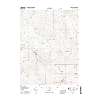
2015 Map of Spring Garden
USGS Topo · Published 2015About this map
Spring Garden and the surrounding high-altitude terrain of the Plumas National Forest define this 2015 study of the Sierra Nevada's northern reaches. The settlement at Massack sits at the confluence of several vital watercourses, including Massack Creek and Greenhorn Creek, illustrating the historical reliance on these natural drainages for both transit and resource management. The geography is marked by significant vertical relief, from the heights of Grizzly Ridge and Argentine Rock down to the basins of American Valley and Thompson Valley.
Find a feature on this map
58 named features on this map. Tap any name to fly to it.
Don’t see what you’re looking for? This feature index may not catch every label — zoom into the map to look around manually.
Map Details
Editions of this 2015 Spring Garden Map
This is the sole edition of this map. No revisions or reprints were ever made.
Other maps of this area

1886 · Honey Lake
USGS Topo · 1:250,000

1891 · Downieville
USGS Topo · 1:125,000

1891 · Honey Lake
USGS Topo · 1:250,000

1893 · Honey Lake
USGS Topo · 1:250,000

1893 · Downieville
USGS Topo · 1:125,000

1895 · Downieville
USGS Topo · 1:125,000

1896 · Downieville
USGS Topo · 1:125,000

1897 · Downieville
USGS Topo · 1:125,000

1937 · Blairsden
USGS Topo · 1:48,000

1943 · Blairsden
USGS Topo · 1:62,500