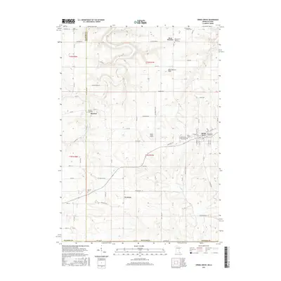
2016 Map of Spring Grove
USGS Topo · Published 2016About this map
Spring Grove serves as the primary hub in this corner of Houston County, where the township structure meets the Iowa state line. The landscape is defined by the drainage of Riceford Creek and the notable Black Hammer Bluff, which overlooks the small settlement of Black Hammer. For genealogists and local historians, the map is remarkably dense with religious and burial sites, including the Black Hammer Lutheran Church Cemetery, Riceford Norwegian Cemetery, and Saint Marys Cemetery.
Find a feature on this map
80 named features on this map. Tap any name to fly to it.
Don’t see what you’re looking for? This feature index may not catch every label — zoom into the map to look around manually.
Map Details
Editions of this 2016 Spring Grove Map
This is the sole edition of this map. No revisions or reprints were ever made.
Other maps of this area

1906 · Decorah
USGS Topo · 1:125,000

1958 · La Crosse
USGS Topo · 1:250,000

1961 · La Crosse
USGS Topo · 1:250,000

1965 · La Crosse
USGS Topo · 1:250,000

1965 · Wilmington
USGS Topo · 1:24,000

1965 · Mabel
USGS Topo · 1:24,000

1965 · Spring Grove
USGS Topo · 1:24,000

1965 · Sheldon
USGS Topo · 1:24,000

1965 · Yucatan
USGS Topo · 1:24,000

1965 · Bratsberg
USGS Topo · 1:24,000