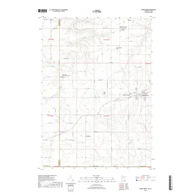
2019 Map of Spring Grove
USGS Topo · Published 2019About this map
Spring Grove and its surrounding townships in Houston and Fillmore counties reveal a landscape shaped by narrow creek valleys and the Lutheran heritage of its settlers. Small communities like Black Hammer, Riceford, and Newhouse are scattered throughout the territory, often anchored by historic burial grounds such as the Riceford Norwegian Cem and the Black Hammer Lutheran Church Cem. The terrain is characterized by the prominent Black Hammer Bluff and a network of waterways including Riceford Cr, Beaver Cr W, and N Bear Cr. While Spring Grove serves as the primary population center along West Main Street, the outlying areas maintain a rural character, evidenced by the private Deters Farms Airport and numerous agricultural roads like Territorial Drive and Sugar Valley Road.
Find a feature on this map
63 named features on this map. Tap any name to fly to it.
Don’t see what you’re looking for? This feature index may not catch every label — zoom into the map to look around manually.
Map Details
Editions of this 2019 Spring Grove Map
This is the sole edition of this map. No revisions or reprints were ever made.
Other maps of this area

1906 · Decorah
USGS Topo · 1:125,000

1958 · La Crosse
USGS Topo · 1:250,000

1961 · La Crosse
USGS Topo · 1:250,000

1965 · La Crosse
USGS Topo · 1:250,000

1965 · Wilmington
USGS Topo · 1:24,000

1965 · Mabel
USGS Topo · 1:24,000

1965 · Spring Grove
USGS Topo · 1:24,000

1965 · Sheldon
USGS Topo · 1:24,000

1965 · Yucatan
USGS Topo · 1:24,000

1965 · Bratsberg
USGS Topo · 1:24,000