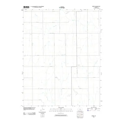
2009 Map of Spring
USGS Topo · Published 2009About this map
Spring sits at a crossroads in southern Harper County, defined by a rural landscape where the agricultural grid meets several significant waterways. This 2009 survey shows how the local road network, including State Hwy 179 and S Harper Cty Ave, is oriented around the natural drainage of the region. The area is characterized by a series of south-flowing streams, most notably Beaver Creek, Bluff Creek, and Cooper Creek, which create subtle variations in the prairie terrain. To the east, Wildcat Creek cuts across the corner of the map, illustrating the dendritic drainage pattern typical of this part of Kansas. The infrastructure is primarily composed of section-line roads like SW 70 Rd and SE 70 Rd, which provide access to the vast ranching and farming tracts that have long sustained this community near the Oklahoma border.
Find a feature on this map
23 named features on this map. Tap any name to fly to it.
Don’t see what you’re looking for? This feature index may not catch every label — zoom into the map to look around manually.
Map Details
Editions of this 2009 Spring Map
This is the sole edition of this map. No revisions or reprints were ever made.
Other maps of this area

1889 · Anthony
USGS Topo · 1:125,000

1889 · Caldwell
USGS Topo · 1:125,000

1891 · Anthony
USGS Topo · 1:125,000

1893 · Caldwell
USGS Topo · 1:125,000

1897 · Caldwell
USGS Topo · 1:125,000

1955 · Wichita
USGS Topo · 1:250,000

1955 · Enid
USGS Topo · 1:250,000

1955 · Woodward
USGS Topo · 1:250,000

1955 · Pratt
USGS Topo · 1:250,000

1958 · Enid
USGS Topo · 1:250,000