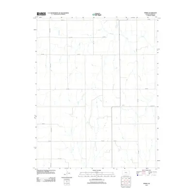
2012 Map of Spring
USGS Topo · Published 2012About this map
Spring and the surrounding prairie of Harper County are defined by a network of drainage systems that support the regional agricultural economy. The landscape is carved by several prominent waterways, including Beaver Cr and Bluff Cr, which meander through the sections toward the state line. This area of southern Kansas exhibits a strict section-line road grid, with thoroughfares like Caldwell Rd and NW 40th Ave providing the primary infrastructure for local transit and farm-to-market access. Small tributaries such as Cooper Cr and Wildcat Cr create subtle topographical variations in an otherwise steady terrain, illustrating the natural drainage patterns that have guided land use in this part of the county for generations.
Find a feature on this map
19 named features on this map. Tap any name to fly to it.
Don’t see what you’re looking for? This feature index may not catch every label — zoom into the map to look around manually.
Map Details
Editions of this 2012 Spring Map
This is the sole edition of this map. No revisions or reprints were ever made.
Other maps of this area

1889 · Anthony
USGS Topo · 1:125,000

1889 · Caldwell
USGS Topo · 1:125,000

1891 · Anthony
USGS Topo · 1:125,000

1893 · Caldwell
USGS Topo · 1:125,000

1897 · Caldwell
USGS Topo · 1:125,000

1955 · Wichita
USGS Topo · 1:250,000

1955 · Enid
USGS Topo · 1:250,000

1955 · Woodward
USGS Topo · 1:250,000

1955 · Pratt
USGS Topo · 1:250,000

1958 · Enid
USGS Topo · 1:250,000