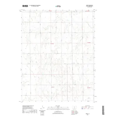
2018 Map of Spring
USGS Topo · Published 2018About this map
The agrarian landscape of Harper County, Kansas, is defined here by the intricate drainage systems of the southern plains. Water is the central geographic element, with Beaver Cr and Bluff Cr winding through the northern sections, while Cooper Cr and Wildcat Cr traverse the central and southern reaches. The unnamed Spring provides a rare localized water source in the east-central portion of the map. This 2018 survey reveals a highly organized township and range system, where a rigid grid of gravel roads like SW 30 RD and S Harper Cty Ave segments the terrain into precise sections. This network reflects the enduring layout of Kansas farmland, where transportation routes and property lines are strictly aligned to the cardinal directions, facilitating the movement of agricultural goods across the rural landscape.
Find a feature on this map
34 named features on this map. Tap any name to fly to it.
Don’t see what you’re looking for? This feature index may not catch every label — zoom into the map to look around manually.
Map Details
Editions of this 2018 Spring Map
This is the sole edition of this map. No revisions or reprints were ever made.
Other maps of this area

1889 · Anthony
USGS Topo · 1:125,000

1889 · Caldwell
USGS Topo · 1:125,000

1891 · Anthony
USGS Topo · 1:125,000

1893 · Caldwell
USGS Topo · 1:125,000

1897 · Caldwell
USGS Topo · 1:125,000

1955 · Wichita
USGS Topo · 1:250,000

1955 · Enid
USGS Topo · 1:250,000

1955 · Woodward
USGS Topo · 1:250,000

1955 · Pratt
USGS Topo · 1:250,000

1958 · Enid
USGS Topo · 1:250,000