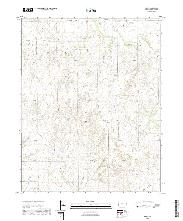
2022 Map of Spring
USGS Topo · Published 2022About this map
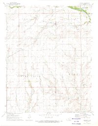
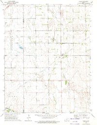
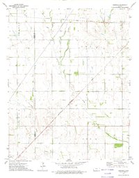
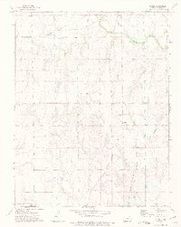
Bluff Cr and Spring Cr dominate the northern landscape of this rural Harper County quadrant, where the waters converge just south of the Anthony boundary. The terrain is defined by a dense network of drainage systems, including Beaver Cr and Wildcat Cr, which cut through the agricultural sections of t34s r7w and t34s r6w. The grid of section line roads, such as S Harper Cty Ave and SW 80 Rd, provides a clear view of the land division and rural infrastructure common to the Kansas plains in the early 21st century. This map traces the headwaters and seasonal flows of several local tributaries, including Cooper Cr and Rush Cr, which shape the topography of the southern townships.
Find a feature on this map
36 named features on this map. Tap any name to fly to it.
Don’t see what you’re looking for? This feature index may not catch every label — zoom into the map to look around manually.
Map Details
Editions of this 2022 Spring Map
This is the sole edition of this map. No revisions or reprints were ever made.
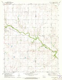
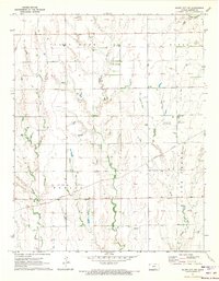
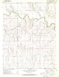
Historical Maps of Harper County Through Time
18 maps found
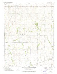
1971 Bluff City East
Harper County, KS
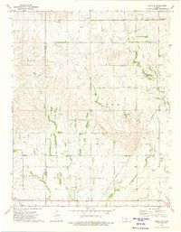
1971 Bluff City NW
Harper County, KS
1971 Bluff City West
Harper County, KS
1971 Freeport
Harper County, KS
1972 Corwin
Harper County, KS
1972 Crisfield
Harper County, KS
1972 Spring
Harper County, KS
1973 Crystal Springs
Harper County, KS
1973 Zenda SE
Harper County, KS
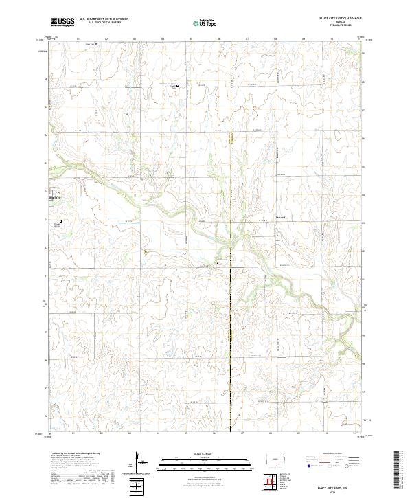
2022 Bluff City East
Harper County, KS
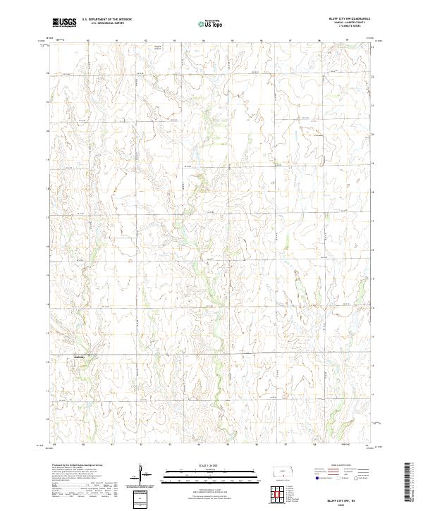
2022 Bluff City NW
Harper County, KS
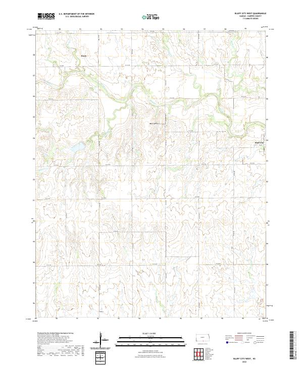
2022 Bluff City West
Harper County, KS
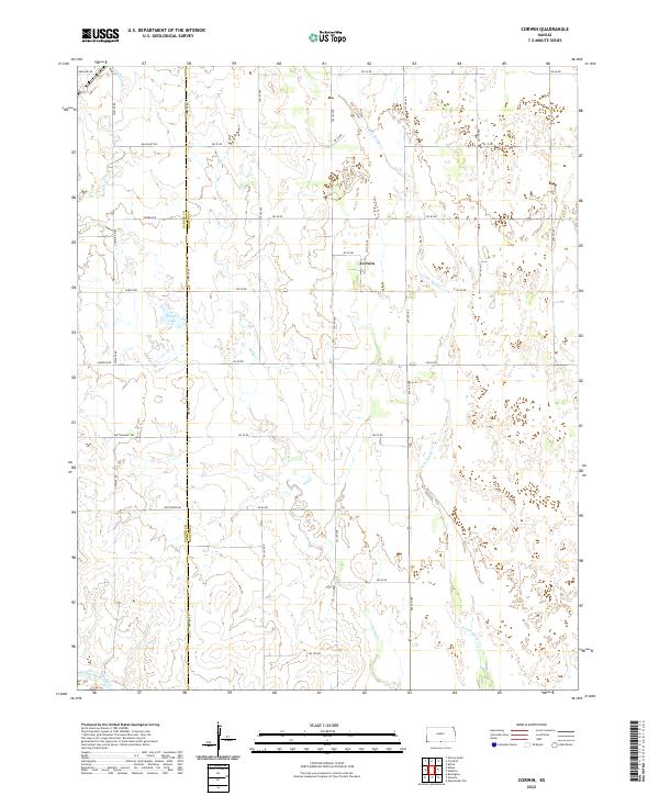
2022 Corwin
Harper County, KS
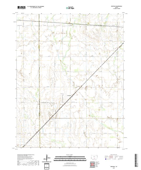
2022 Crisfield
Harper County, KS
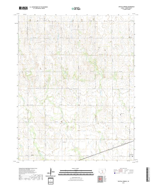
2022 Crystal Springs
Harper County, KS
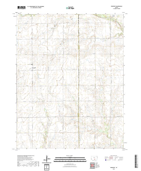
2022 Freeport
Harper County, KS
2022 Spring
Harper County, KS
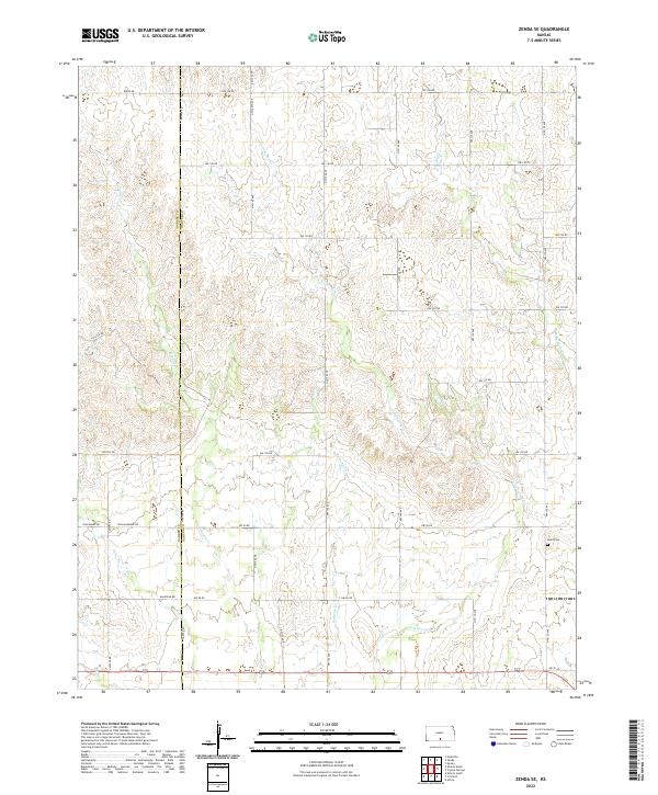
2022 Zenda SE
Harper County, KS