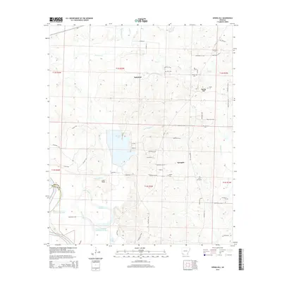
2014 Map of Spring Hill
USGS Topo · Published 2014About this map
The community of Battlefield sits at the heart of this Hempstead County landscape, where the topography transitions from the rising ground of Cedar Ridge toward the broad bottomlands of the Red River. The southwestern corner of the map is defined by distinct hydrological changes over time, including the Nineteen hundred and forty Cut-off Lake and the Nineteen-hundred and-sixteen Cut-off, which indicate the shifting course of the river through the century. Central to the area's geography is the large Bois d'Arc Lake, fed by the Bois d'Arc Cr and its various tributaries like Sandy Bois d'Arc Cr and Bridge Cr. Genealogists will find a high density of rural burial grounds scattered across the townships, including Hervey Cem, Foster Cem, and Providence Cem, which serve as physical markers of the area's settlement history near the crossroads of Spring Hill.
Find a feature on this map
65 named features on this map. Tap any name to fly to it.
Don’t see what you’re looking for? This feature index may not catch every label — zoom into the map to look around manually.
Map Details
Editions of this 2014 Spring Hill Map
This is the sole edition of this map. No revisions or reprints were ever made.
Other maps of this area

1951 · Patmos
USGS Topo · 1:24,000

1951 · Fulton
USGS Topo · 1:24,000

1951 · Sheppard
USGS Topo · 1:24,000

1951 · Spring Hill
USGS Topo · 1:24,000

1951 · Hope
USGS Topo · 1:24,000

1951 · Mc Nab
USGS Topo · 1:24,000

1952 · Old Town
USGS Topo · 1:24,000

1952 · Fouke NE
USGS Topo · 1:24,000

1952 · Boyd Hill
USGS Topo · 1:24,000

1953 · El Dorado
USGS Topo · 1:250,000