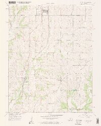
1957 Map of Spring Hill
USGS Topo · Published 1958About this map
Spring Hill anchors the northern edge of this landscape, straddling the border between Johnson and Miami Counties during the mid-century. This territory is defined by the convergence of two major rail systems, with the St Louis San Francisco running north-south through Hillsdale and the Missouri Pacific cutting across the southeastern corner near Chiles. The topography is marked by a dense network of creek branches, including Tenmile Creek and Sixmile Creek, which feed into the larger Bull Creek drainage system.
Find a feature on this map
29 named features on this map. Tap any name to fly to it.
Don’t see what you’re looking for? This feature index may not catch every label — zoom into the map to look around manually.
Map Details
Editions of this 1957 Spring Hill Map
2 editions found
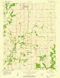
Other maps of this area

1887 · Olathe
USGS Topo · 1:125,000

1893 · Olathe
USGS Topo · 1:125,000

1947 · Lawrence
USGS Topo · 1:250,000

1950 · Lawrence
USGS Topo · 1:250,000

1956 · Stilwell
USGS Topo · 1:24,000

1956 · Bucyrus
USGS Topo · 1:24,000
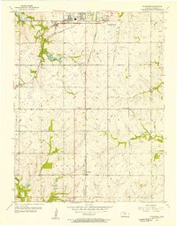
1956 · Ocheltree
USGS Topo · 1:24,000

1956 · Paola East
USGS Topo · 1:24,000

1956 · Lawrence
USGS Topo · 1:250,000
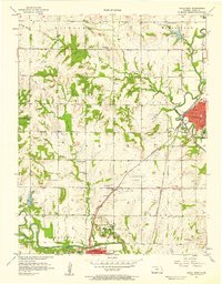
1957 · Paola West
USGS Topo · 1:24,000