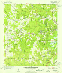
1953 Map of Spring Hill
USGS Topo · Published 1954About this map
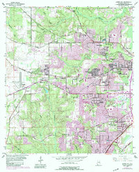
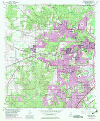
Spring Hill College and the surrounding suburban developments of western Mobile characterize this early 1950s landscape. The map captures the city's westward expansion, showing residential clusters such as Country Club Estates, Jackson Heights, and Forest Hill amidst a network of established institutions and infrastructure. Notable landmarks include the sprawling Bates Field to the west and the Mobile Waterworks to the northeast.
Find a feature on this map
54 named features on this map. Tap any name to fly to it.
Don’t see what you’re looking for? This feature index may not catch every label — zoom into the map to look around manually.
Map Details
Editions of this 1953 Spring Hill Map
6 editions found
Other maps of this area

1922 · Mobile
USGS Topo · 1:62,500

1940 · Hollingers Island
USGS Topo · 1:31,680

1940 · Mobile
USGS Topo · 1:31,680

1940 · Mobile
USGS Topo · 1:62,500

1941 · Chickasaw
USGS Topo · 1:31,680

1941 · Hurley
USGS Topo · 1:62,500

1941 · Creola
USGS Topo · 1:62,500

1942 · Kushla
USGS Topo · 1:31,680

1942 · Theodore
USGS Topo · 1:31,680

1942 · Wilmer
USGS Topo · 1:62,500