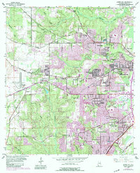
1953 Map of Spring Hill
USGS Topo · Published 1983About this map
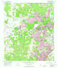
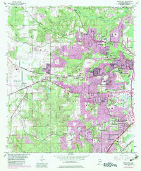
Spring Hill College and the surrounding higher ground of western Mobile characterize this landscape during a period of significant mid-century expansion. The terrain is defined by the headwaters of numerous waterways, including Threemile Creek, Eightmile Creek, and Halls Mill Creek, which drain the ridges that supported early settlements like Orchard and Cottage Hill. Major transportation corridors such as Government Street Road and the Illinois Central Gulf RR illustrate the suburban and industrial growth moving inland from the coast.
Find a feature on this map
75 named features on this map. Tap any name to fly to it.
Don’t see what you’re looking for? This feature index may not catch every label — zoom into the map to look around manually.
Map Details
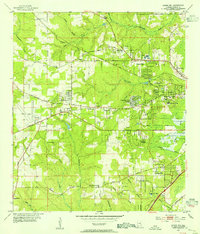
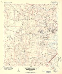
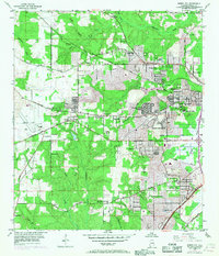
Editions of this 1953 Spring Hill Map
6 editions found
Other maps of this area

1922 · Mobile
USGS Topo · 1:62,500

1940 · Hollingers Island
USGS Topo · 1:31,680

1940 · Mobile
USGS Topo · 1:31,680

1940 · Mobile
USGS Topo · 1:62,500

1941 · Chickasaw
USGS Topo · 1:31,680

1941 · Hurley
USGS Topo · 1:62,500

1941 · Creola
USGS Topo · 1:62,500

1942 · Kushla
USGS Topo · 1:31,680

1942 · Theodore
USGS Topo · 1:31,680

1942 · Wilmer
USGS Topo · 1:62,500