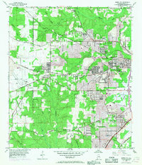
1953 Map of Spring Hill
USGS Topo · Published 1968About this map
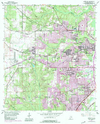
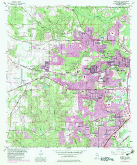
Spring Hill College serves as a prominent landmark in this mid-century portrait of western Mobile, where residential growth begins to push into the pine-covered hills. The landscape is defined by its transition from educational and institutional campuses to emerging suburbs like Country Club Village and Jackson Heights. Infrastructure of the era is clearly visible, including the Mobile Waterworks and Bienville Reservoir, which supported the city's expansion.
Find a feature on this map
59 named features on this map. Tap any name to fly to it.
Don’t see what you’re looking for? This feature index may not catch every label — zoom into the map to look around manually.
Map Details
Editions of this 1953 Spring Hill Map
6 editions found
Other maps of this area

1922 · Mobile
USGS Topo · 1:62,500

1940 · Hollingers Island
USGS Topo · 1:31,680

1940 · Mobile
USGS Topo · 1:31,680

1940 · Mobile
USGS Topo · 1:62,500

1941 · Chickasaw
USGS Topo · 1:31,680

1941 · Hurley
USGS Topo · 1:62,500

1941 · Creola
USGS Topo · 1:62,500

1942 · Kushla
USGS Topo · 1:31,680

1942 · Theodore
USGS Topo · 1:31,680

1942 · Wilmer
USGS Topo · 1:62,500